
 |
 |
 |
 |
 |
 |
 |
 |
 |
 |
 |
 |
 |
 |
Getting to the slope
Agrandir le plan
for perfect directions to the slope, follow this link to get to google-map.
General driving directions:
| Coming from Grasse: • follow the Napoleon road towards St Vallier. • At the exit of the village, turn RIGHT to Gourdon (D5). • After 6km, turn RIGHT to Caussols (D12) • Go through the village and turn LEFT toward the Observatoire de la Cote d'Azur (OCA) on the large right turn (just after passing the restaurant and before the wooden chalet) |
Coming from Nice: • Exit the Autoroute at Villeneuve-Loubet, follow directions to Grasse • At Pré-du-Lac, follow the directions to Gourdon, then St Vallier • Before entering the village of Caussols, follow the road on RIGHT towards the Observatoire de la Cote d'Azur (OCA) on the large left turn (just after the wooden chalet on your right) |
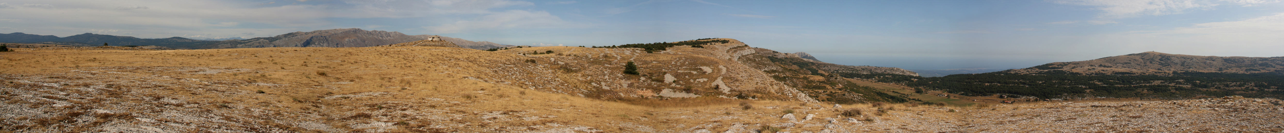
Panoramic views

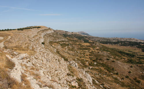
side view of the main slope.
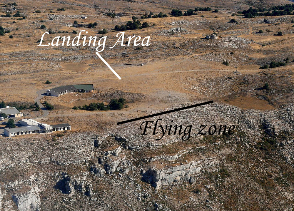
top view of the main slope.
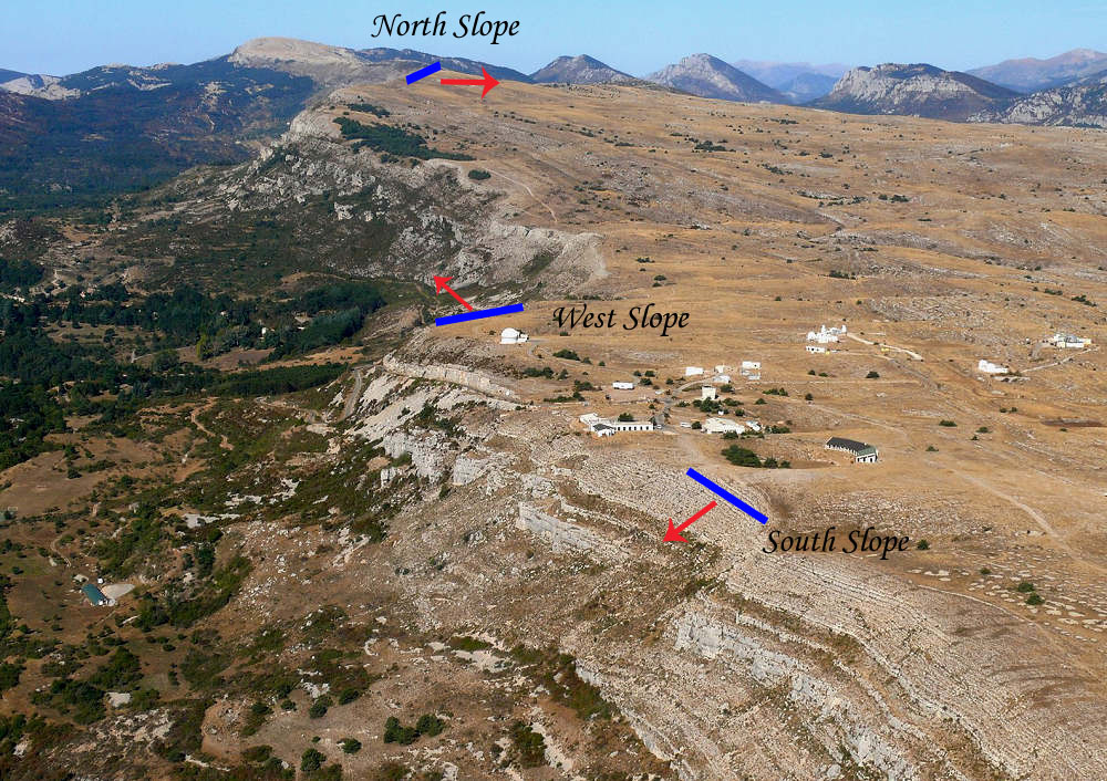
General view of the Slopes (South on front, West in the middle and then
North at far distance). Click for
larger view.